|
Mount Macfarlane-- 爬高1765米的艰苦旅程 |

|
|
页面 1 / 3
to
summit:
Round Trip 21km
Elevation gain 1765m
High point
2100m
Allow 10 hours
驾驶路线:
Travelling east on Highway 1, take exit 119A(Sardis,
Cultus lake). Drive south through Sardis and Vedder Crossing to the
bridge over the river, which is known as Chilliwack River Upstream of
the bridge,Vedder
River downsteam.Turn left and zero your Odometer here.
This is Chilliwack lake road. Drive east,cross Slesse Creek and pass the
Department of National Defence firing range on your right. After about
23Km, on a long straight stretch of road, watch for a narrow track on the
right. There should be a British Columbia Forest
Service sign, "Pierce
Creek Trail," at the entrance. Turn in here and drive 300m to the
parking area.
Driving distance from vancouver 135 Km
相关链结:
http://www.clubtread.com/sforum/topic.asp?TOPIC_ID=12360
http://www.clubtread.com/sforum/topic.asp?TOPIC_ID=12394
topo map:

Mount Macfarlane
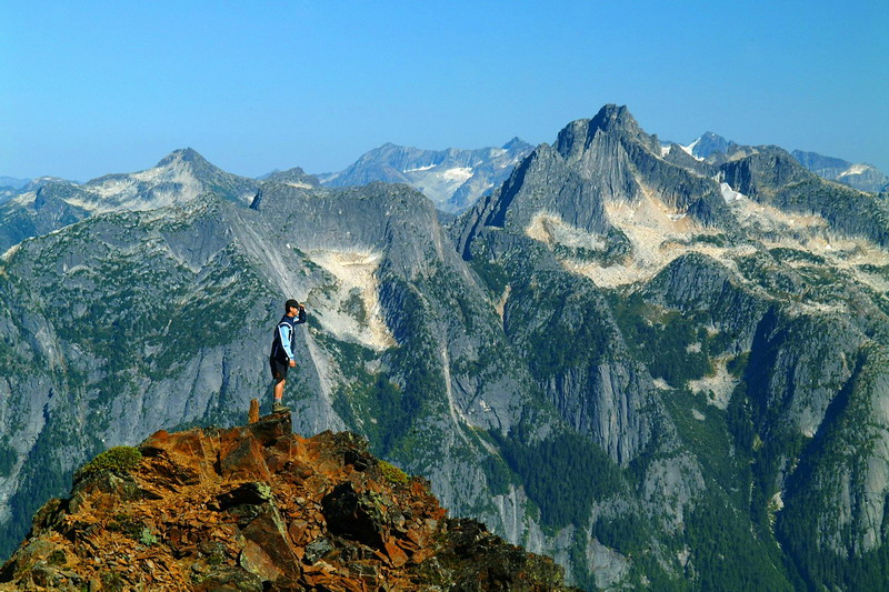
,在lulululu贴出召集帖子之间,我还从来没有听说过有这么一座山,从海拔335米爬到海拔2100米的顶峰,拔高达1765米,也创造了本人单个山峰拔高最高的纪录。虽然下山的时候不得不再次伴随着头灯走了一个多小时的夜路,可是在lulululu的带领下,所有成员都做好了充分的设备和心理准备,整个活动非常有序,安全顺利地完成了。
|
high pierre lake
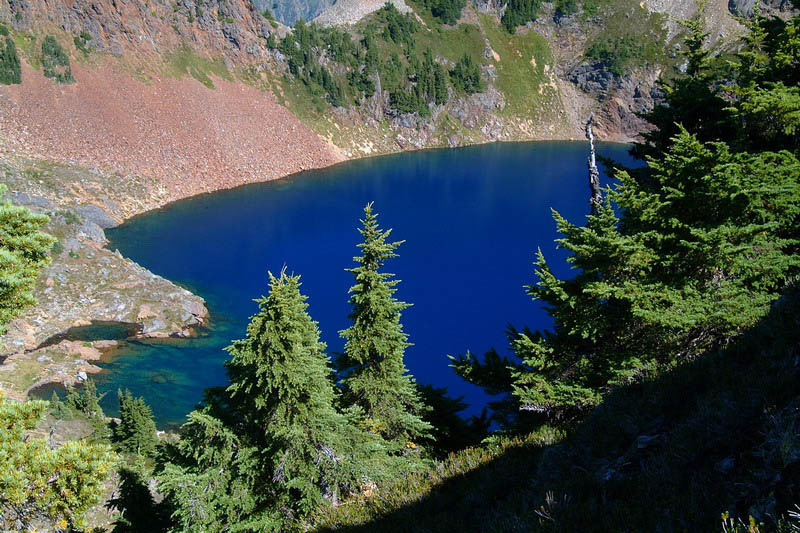
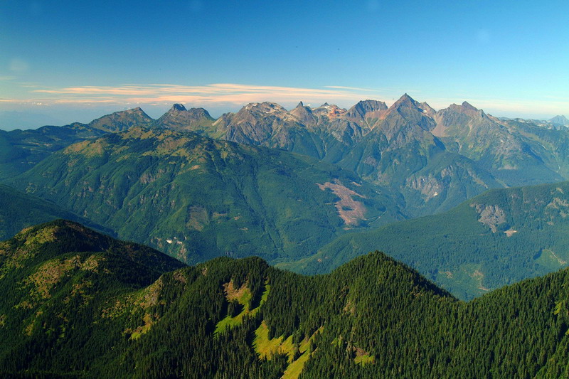
北面的诸山,大家来认一下都有哪些?
遥望
pierce lake
|
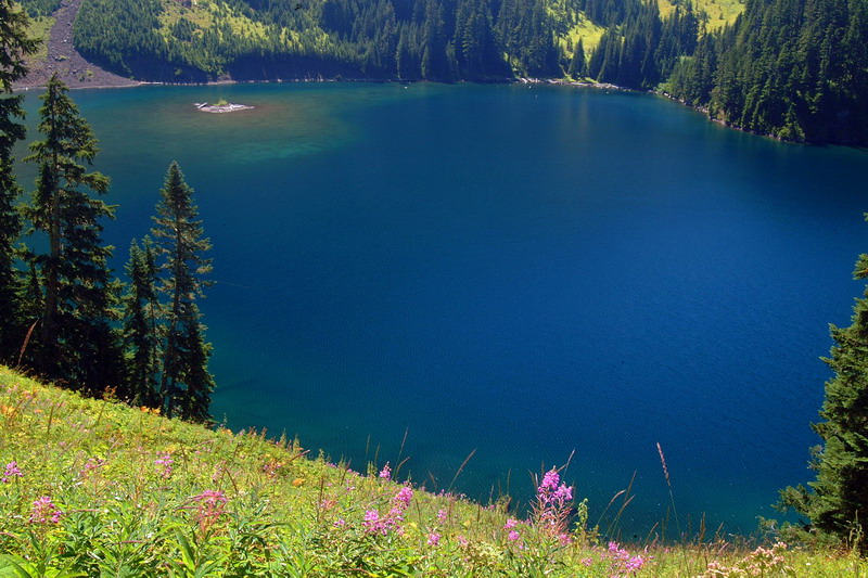
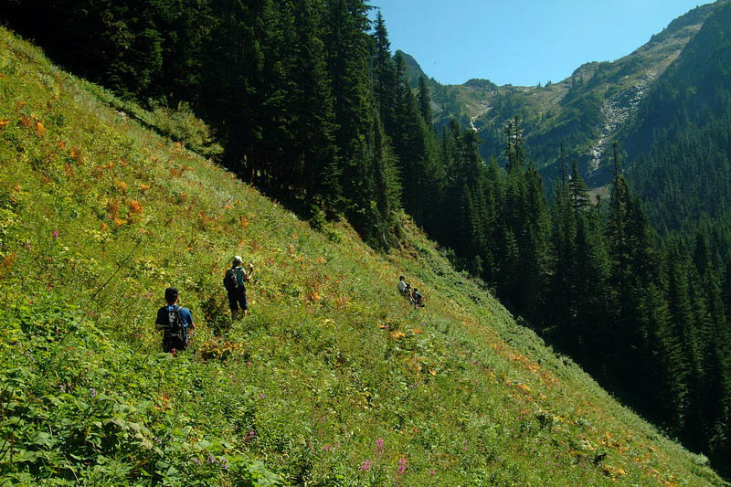
9点半出发,经过3个小时,来到lower pierce lake
|
继续向upper lake进军
|
|
|
