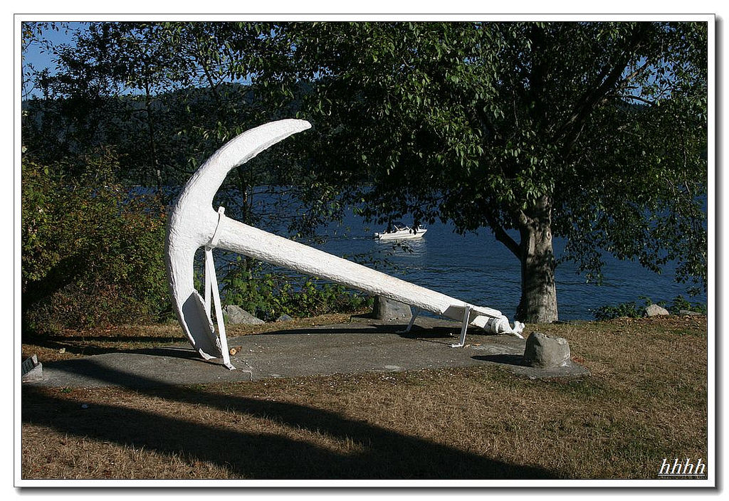
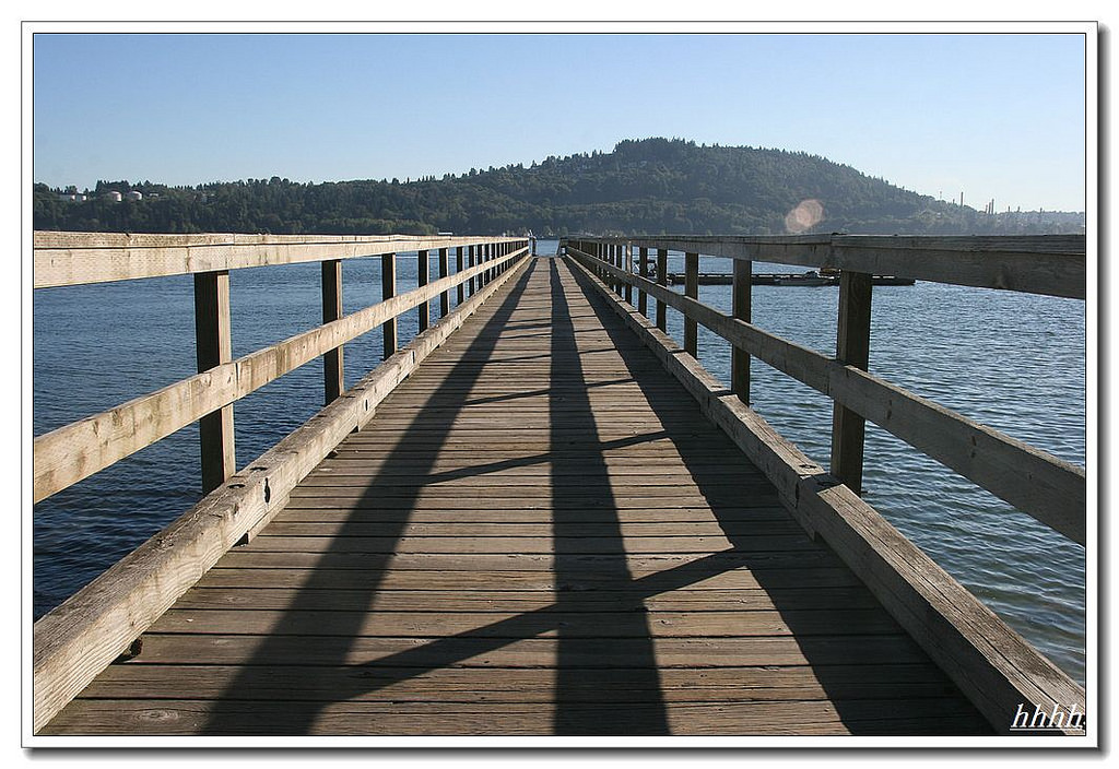
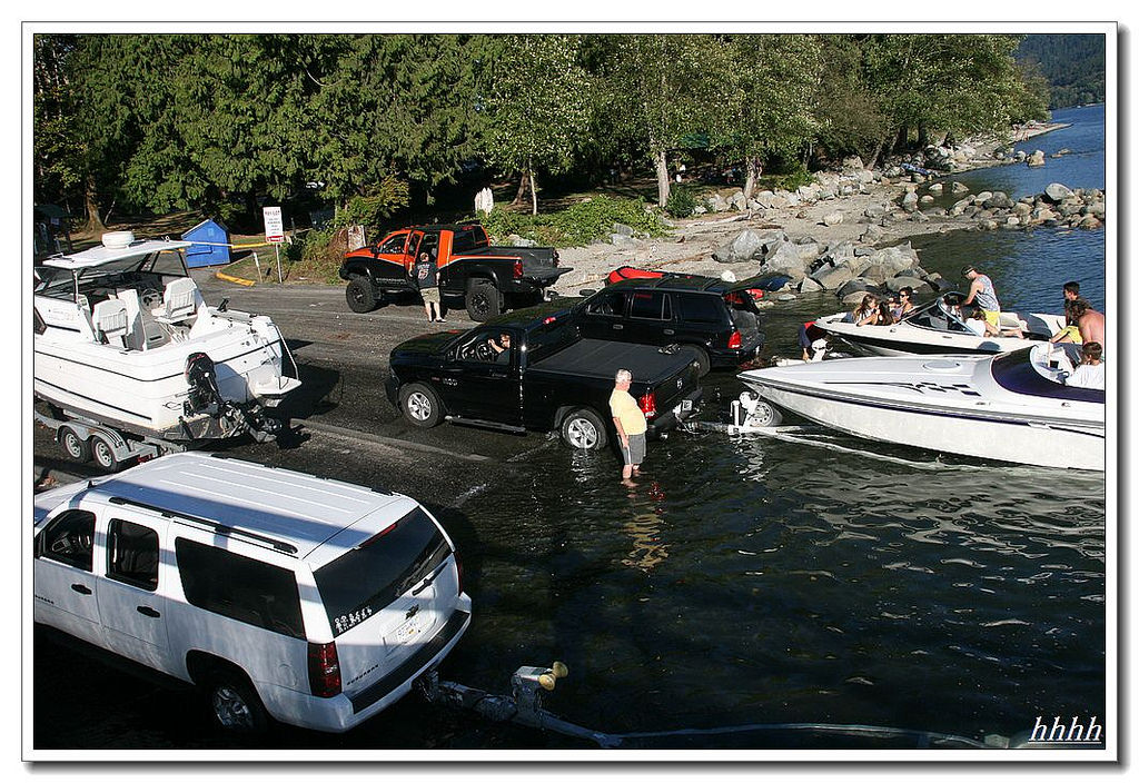
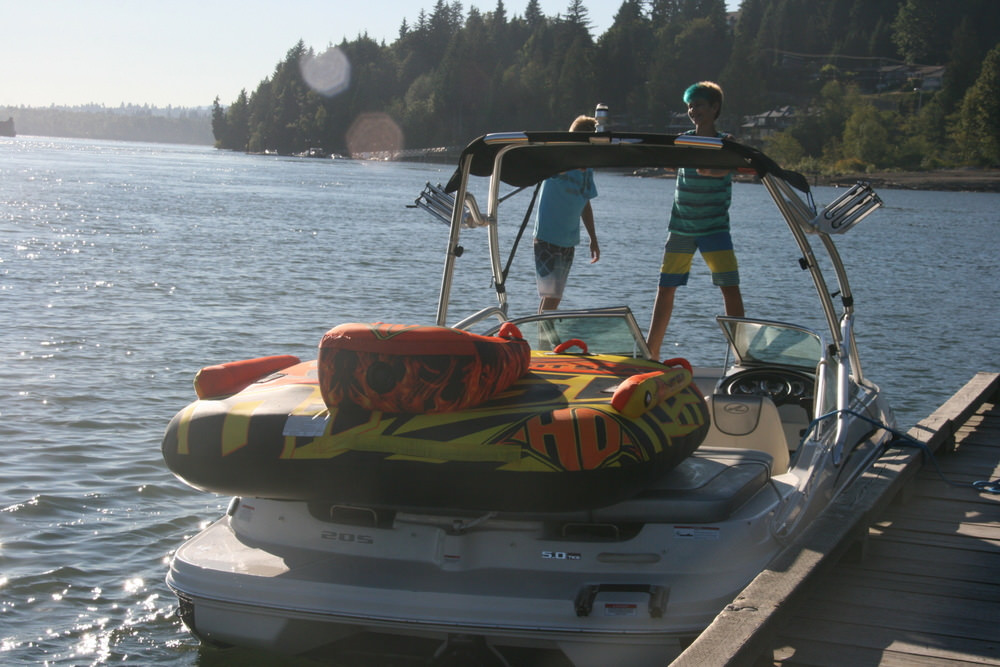
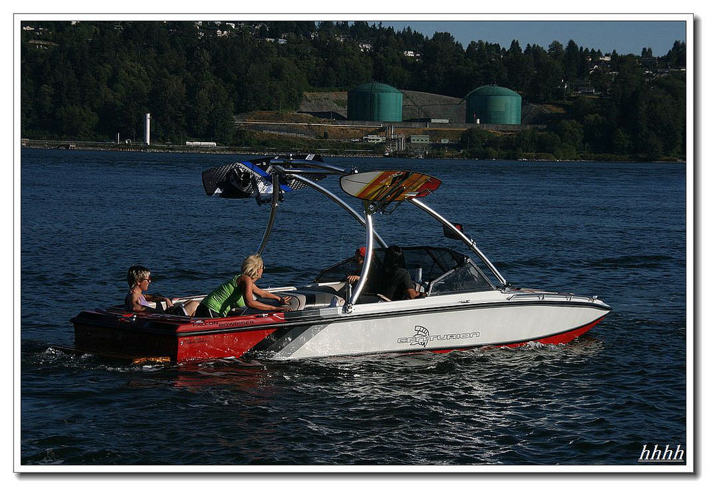
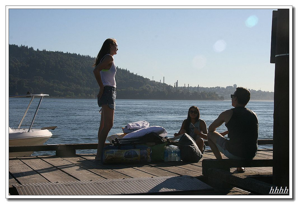
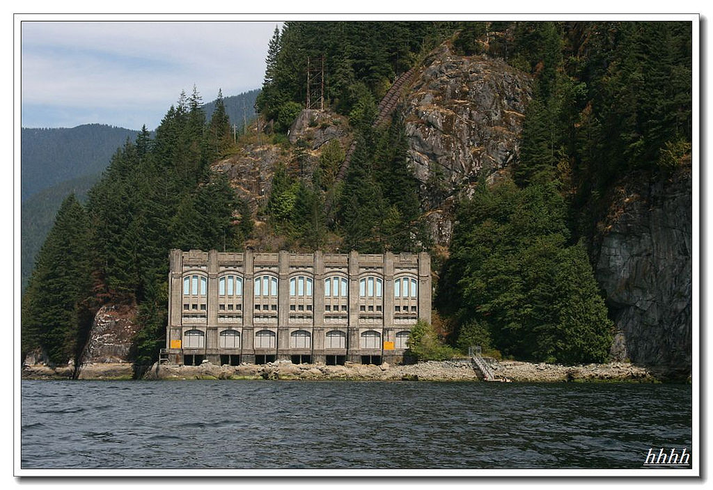
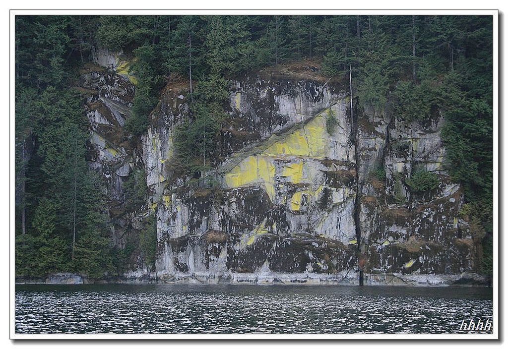
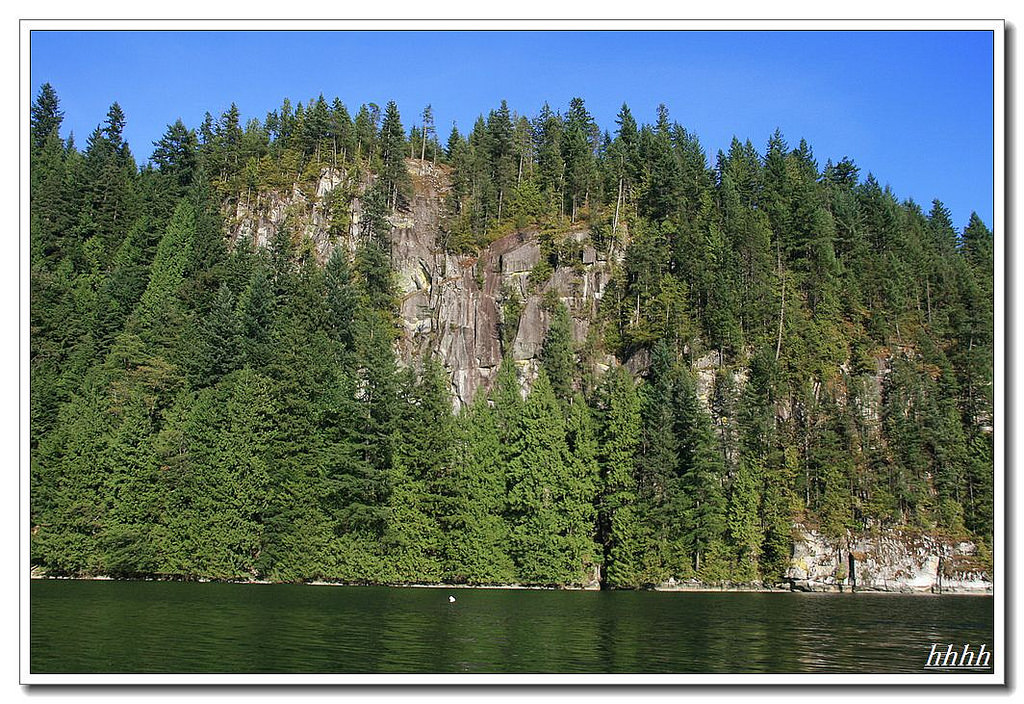
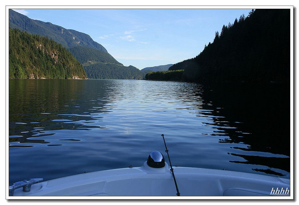
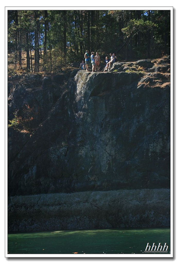
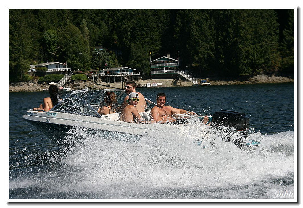
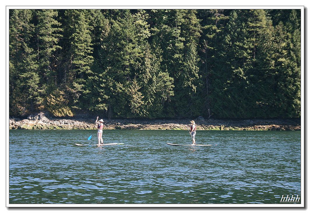
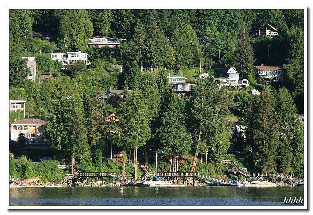
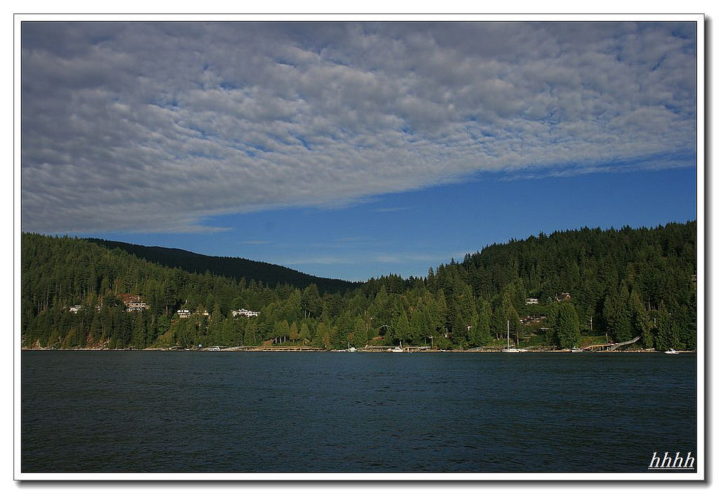
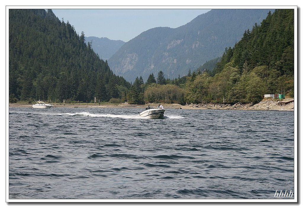
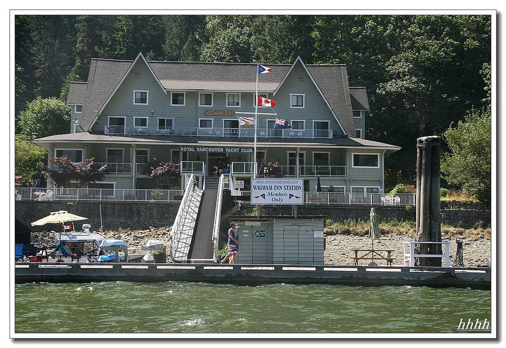
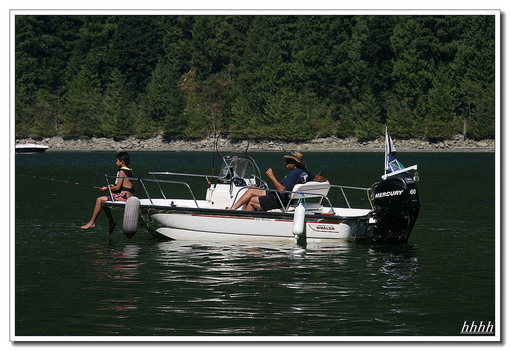
移民到温哥华,我家爱在海边公园玩,从最西的马蹄湾,西温,温西,北温,本拿比,一直玩到最东边的port mondy ,也就是我家现在停船的地方,但这条海叉子从port mondy开始向北流去,往北流的这段海叫Indian Arm ,那么Indian Arm 最深处是神马?很久以前就听人说,那是个美丽的地方,在那有一个旅馆,只有船只能打达,是个玩船的俱乐部,只有会员才让上岸。
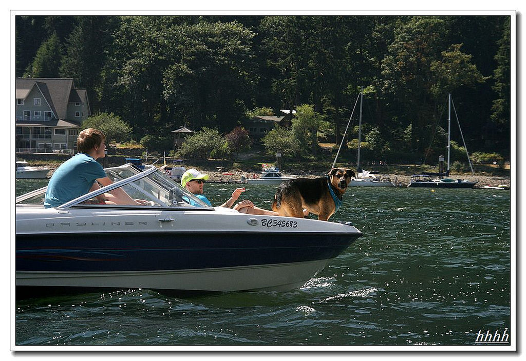
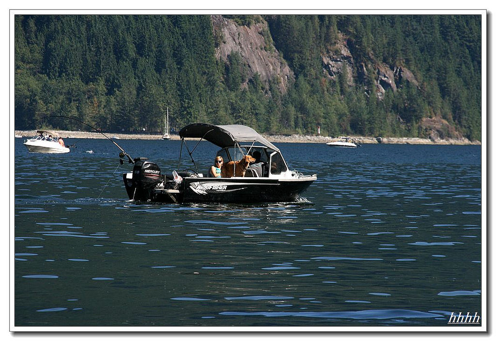
网上狗的介绍:
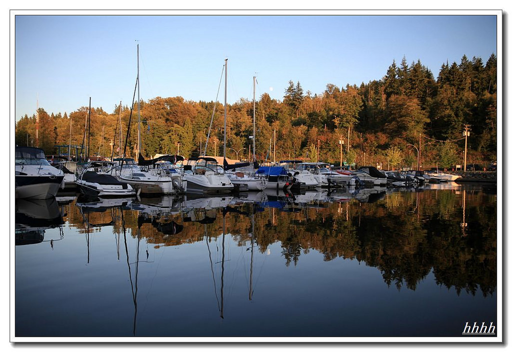
Indian Arm is a steep-sided glacial fjord adjacent to the city of Vancouver in southwestern British Columbia. Formed during the last Ice Age, it extends due north from Burrard Inlet, between the communities of Belcarra (to the east) and the District of North Vancouver (to the west), then on into mountainous wilderness. Burrard Inlet and the opening of Indian Arm was mapped by Captain George Vancouver and fully explored days later by Dionisio Alcalá Galiano in June 1792.[1][2]zt